")
Banner Image
Blog

Section Branding
Header Content
This Week In Georgia Weather - April 16th
Primary Content
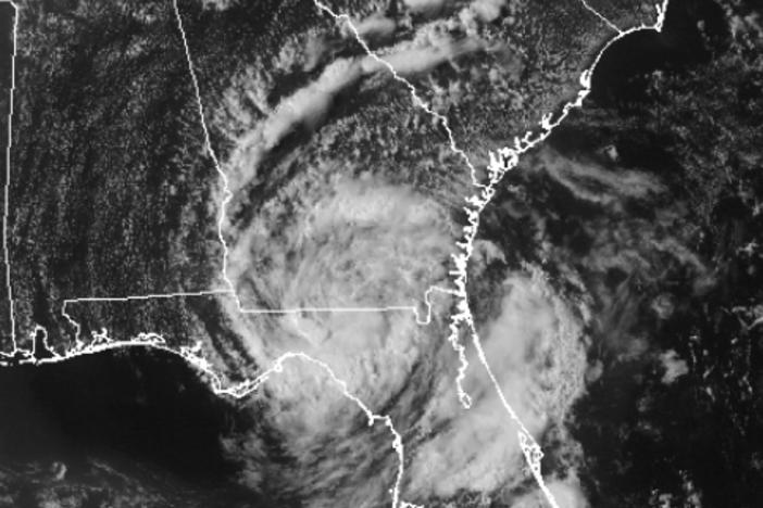
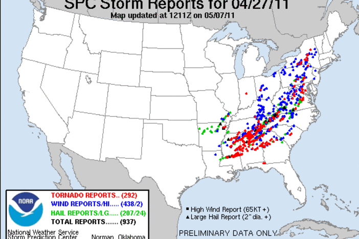
Over one hundred tornadoes touched down over the nation's heartland last weekend, and the same weather system that spawned the twisters is headed our way. Luckily, the system has lost most of its severe weather punch, though a few strong thunderstorms may develop over the mountainous areas. The good news with this system is that most of the state will receive much needed rainfall - the best precipitation chances occur on Tuesday and Wednesday, though rain is in the forecast through Thursday afternoon. Temperatures will fluctuate from the 40's and 50's overnight to the 70's and 80's during the day.

Forecast radar loop for Monday through Wednesday. Rain chances become more significant late Tuesday through Wednesday. Image courtesy of Wright-Weather.com.

Forecast precipitation amounts for 8am Tuesday through 8am Wednesday. Image courtesy of the Hydrological Prediction Center.

Forecast precipitation amounts for 8am Wednesday through 8am Thursday. Image courtesy of the Hydrological Prediction Center.

Forecast temperatures for 8am Wednesday. Image courtesy of Wright-Weather.com.

Forecast temperatures for 5pm Wednesday. Image courtesy of Wright-Weather.com.

Forecast temperatures for 5am Thursday. Image courtesy of Wright-Weather.com.

Forecast temperatures for 5pm Thursday. Image courtesy of Wright-Weather.com.

Forecast temperatures for 8am Friday. Image courtesy of Wright-Weather.com.

Forecast temperatures for 5pm Friday. Image courtesy of Wright-Weather.com.

Drought Monitor as of April 10, 2012.
Secondary Content
Author

Bottom Content