Section Branding
Header Content
Winter storms are breaking snow and temperature records — and there's more to come
Primary Content
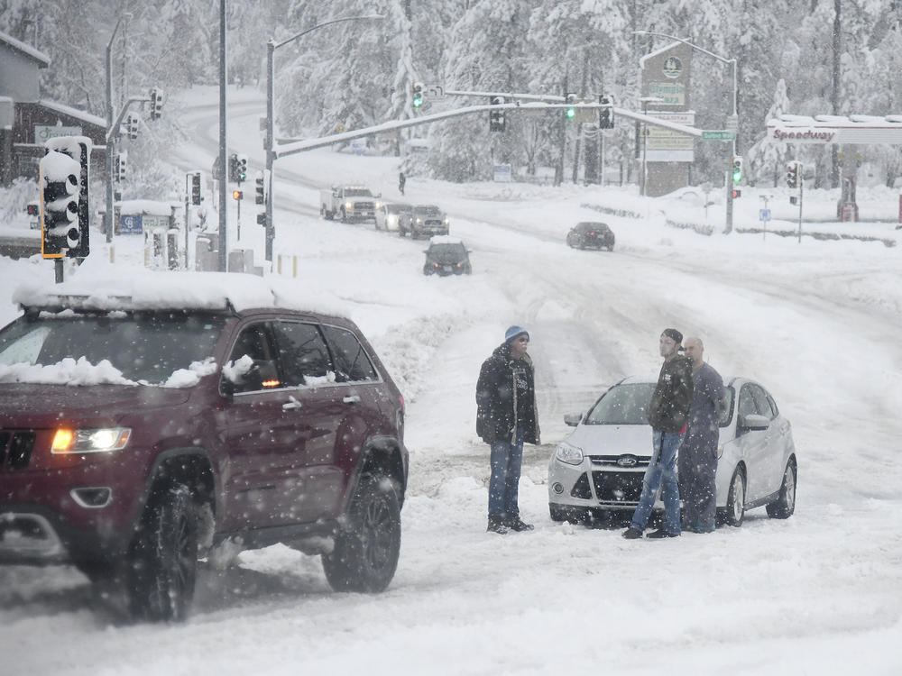
Winter storms sweeping parts of the Western U.S. and the Pacific Northwest have brought heavy snow and record low temperatures in some areas — and there's more to come.
A winter storm warning continues into Wednesday for parts of the border area of Northern California and Nevada.
"We've had quite a series of storms that have impacted the area, especially impacted the Sierra, where we've had some very heavy snow amounts. That's impacted travel to an incredible degree," National Weather Service meteorologist Eric Kurth told The Associated Press.
Snow showers blew in from the Gulf of Alaska and blanketed parts of Washington and Oregon, where state officials have declared an emergency. The Seattle area got up to 6 inches of snow. Weather shelters were opened in both Seattle and Portland.
The NWS said Seattle's low of 20 degrees on Sunday broke the previous low for the day set in 1948. Bellingham, Wash., hit a low of 9 — three degrees below the 1971 record for the day.
Utilities in western Washington and Oregon reported about 5,000 customers without power Monday. Pacific Power reported early Tuesday that more than 2,000 customers in Oregon still had no electricity.
Meanwhile, Utah on Monday experienced a "snow squall" — what local ABC4 chief meteorologist Alana Brophy describes as "an intense short-lived burst of heavy snowfall that leads to a quick reduction in visibilities and is often accompanied by gusty winds."
In Nevada, freezing temperatures and blinding snow snarled traffic and forced the closure of Sierra Nevada highway passes. An avalanche blocked the state road connecting Tahoe City to ski resorts in Olympic Valley. The conditions prompted Gov. Steve Sisolak to order nonessential state workers to stay home.
The Weather Channel reported that up to 9 feet of snow had fallen around Lake Tahoe.
Local television KHSL in Chico, Calif., reports that low pressure along the coast of Oregon would bring "colder temperatures, rain and snow" on Wednesday with snow "down to the valley floor in Tehama and Shasta Counties."
"Snow levels are down into the 0 to 500' range in the Northern Mountains and the northern end of the valley, while snow levels are down to around 1500' in the foothills and Sierra," the station reports.
Officials at the University of California, Berkeley's Central Sierra Snow Laboratory, located at Donner Pass, said on Monday that snowfall in the region in December had reached 193.7 inches, shattering the old record of 179 inches for the month set in 1970.
Copyright 2021 NPR. To see more, visit https://www.npr.org.

