Section Branding
Header Content
Get ready for another destructive Atlantic hurricane season
Primary Content
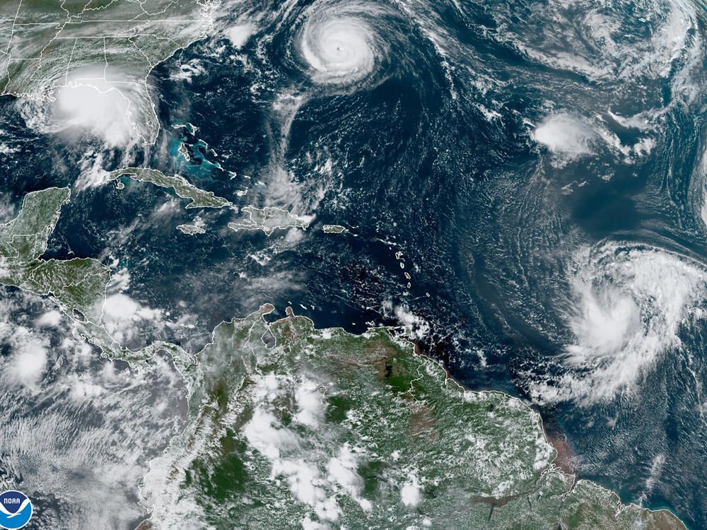
There will be more hurricanes and tropical storms than usual during this year's Atlantic hurricane season, federal forecasters warn.
The National Oceanic and Atmospheric Administration (NOAA) predicts 14 to 21 total storms will grow large enough to be named. Of those, forecasters expect 6 to 10 hurricanes, 3 to 6 of which will have sustained wind speeds above 110 miles per hour.
If the forecast is correct, this will be the seventh year in a row with an above-average number of storms – by far the longest streak in recorded history. The Atlantic hurricane season officially begins on June 1 and ends on November 30, though storms sometimes form outside those dates.
Last year, NOAA updated its definition of a normal hurricane season to reflect the new normal of climate change. It now considers hurricane seasons that are "above-average" to have more than 14 named tropical storms, instead of 12. For context, the record-breaking 2020 hurricane season produced 30 named storms. Not all storms make landfall, but when they do, the damage can be enormous.
Hundreds of millions of people in the U.S. are threatened by storms that form over the Atlantic Ocean and move toward the Eastern seaboard and Gulf of Mexico. That includes many who live far away from where storms generally make landfall, and who may feel a false sense of security as a result.
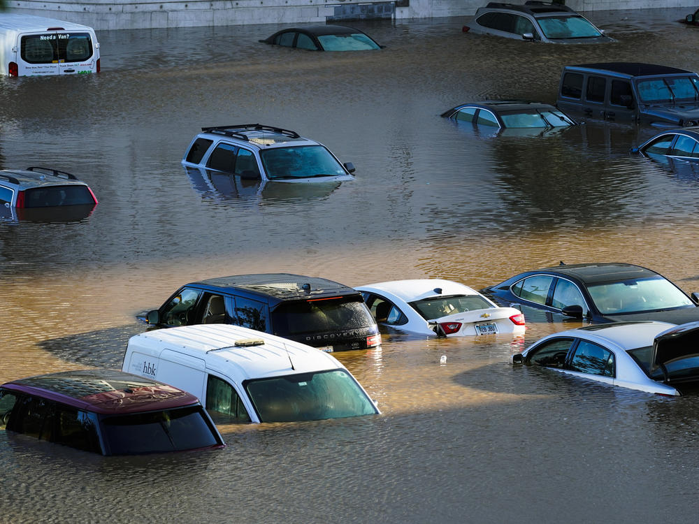
For example, last year, Hurricane Ida carved a path of destruction across nine states from Louisiana to New England and caused billions of dollars in damage and dozens of deaths along the way.
NOAA emphasized the widespread risk by announcing this year's hurricane forecast at a press conference in New York City – far from the traditional epicenter of hurricane risk in the U.S. and one of the places hammered by Ida's rain last September.
"No one is immune from the effects of these tropical storms," says Deanne Criswell, the head of the Federal Emergency Management Agency.
Forecasters say a combination of cyclic regional weather patterns and climate change are driving the escalating hurricane hazards in the U.S.
"There are certain ingredients that drive the intensity and frequency of hurricanes," says Matthew Rosencrans, the lead hurricane season outlook forecaster with NOAA's Climate Prediction Center, including how much dust is in the air, how windy it is and how warm the water on the surface of the ocean is.
Some of those ingredients are unrelated to human-caused global climate change. For example, the natural climate variation known as La Niña has been happening for multiple years, and it drives ocean and wind conditions that support the formation of tropical storms in the Atlantic.
But many of the other ingredients for a destructive hurricane season are related to human-caused climate change. Hotter ocean water and hotter air create perfect conditions for hurricanes to form, and to get large and destructive. And sea level rise exacerbates flooding when storms hit land.
An extra warm ocean current is also bulging into the Gulf of Mexico this spring, threatening to release a large and deep blob of hot water during hurricane season. That would create a dangerous hurricane incubator, and make it more likely that a powerful storm would hit Mexico or the U.S. Gulf Coast.
When this current has bulged into the Gulf of Mexico in the past, it fueled some of the most notorious storms in recent history, including Hurricanes Katrina, Ida and Harvey.
Copyright 2022 NPR. To see more, visit https://www.npr.org.


