Section Branding
Header Content
Ferocious winds hit Southern California as heat wave breaks
Primary Content
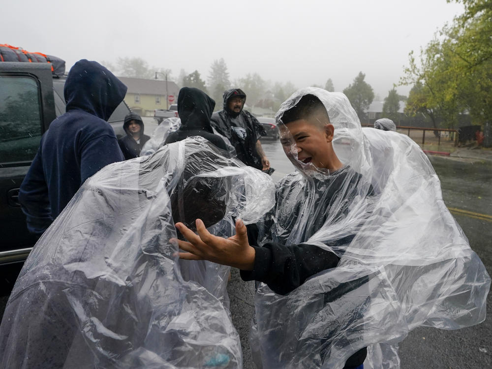
SAN DIEGO — Parts of Southern California were lashed by severe winds from a tropical storm Friday that brought high humidity, rain and possible flooding to the parched region but also the promise of cooler temperatures after a 10-day heat wave that nearly overwhelmed the state's electrical grid.
Firefighters had feared powerful winds that topped 100 mph (161 kph) could expand the massive Fairview Fire burning about 75 miles (121 kilometers) southeast of Los Angeles but instead crews made significant progress and pegged Monday as a day when they should have full containment. More than 10,000 homes and other structures remained threatened and evacuation orders were still in place.
Hurricane Kay made landfall near Mexico's Bahia Asuncion in Baja California Sur state Thursday, but it quickly weakened into a tropical storm by the time it reached Southern California. Still winds, were ferocious in places — speeds reached 109 mph (175 kph) on San Diego County's Cuyamaca Peak, the National Weather Service said.
The tropical conditions added a swelter to the heat wave that saw temperatures soar past 100 degrees Fahrenheit (38 degrees Celsius) in many parts of California this week. Even places like San Diego, renowned for its temperate climate, baked in the heat.
By late morning Friday a steady rain pelted downtown San Diego as Charles Jenkins swept the accumulating puddles away from the tarps of his makeshift home.
"The heat was killer, so for now this feels good," Jenkins said. "I just hope the water doesn't get too high. But I will rough it. I've got pallets I can put underneath to keep out the rain."
Around 1 p.m. as rain continued, a Navy-contracted, twin-engine plane carrying two civilian pilots slid off the end of a runway after it touched down at Naval Air Station North Island in Coronado and parked in a spit of sand. The plane's nose was damaged but the pilots were able to depart on their own and were taken to a hospital for observation, Naval Base Coronado spokesperson Kevin Dixon said.
Though rainfall generally was moderate across Southern California Friday there was a chance of isolated thunderstorms and heavy downpours into Saturday. With flooding possible, officials in coastal cities posted warning signs in low-lying areas and made sandbags available to the public.
September already has produced one of the hottest and longest heat waves on record for California and some other Western states. Nearly 54 million people were under heat warnings and advisories across the region this week as temperature records were shattered in many areas.
California's state capital of Sacramento hit an all-time high Tuesday of 116 degrees (46.7 C), breaking a 97-year-old record. Salt Lake City tied its all-time high temperature Wednesday at 107 degrees (41.6 C).
On Tuesday, as air conditioners whirred amid the stifling heat, California set a record for power consumption and authorities nearly instituted rolling blackouts when the electrical grid capacity was at its breaking point.
Scientists say climate change has made the West warmer and drier over the last three decades and will continue to make weather more extreme and wildfires more frequent and destructive. In the last five years, California has experienced the largest and most destructive fires in state history.
While firefighters made progress against the Fairview Fire, the fast-moving Mosquito Fire in the foothills east of Sacramento doubled in size Friday to at least 46 square miles (119 square kilometers) and threatened 3,600 homes in Placer and El Dorado counties, while blanketing the region in smoke.
Flames jumped the American River, burning structures in the mountain hamlet of Volcanoville and moving closer to the towns of Foresthill, home to about 1,500 people, and Georgetown, population 3,000. More than 5,700 people in the area have been evacuated, said Placer County Sheriff's Office Lt. Josh Barnhart.
David Hance slept on the porch of his mother's Foresthill mobile home when he woke up to a glowing red sky early Wednesday morning and was ordered to evacuate.
"It was actually fricking terrifying, cause they say, 'Oh yeah, it's coming closer,'" he said. "It was like sunset in the middle of the night."
Hance left behind most of his electronic gear, all his clothing and family photos and fled to Auburn, where he found his mother, Linda Hance, who said the biggest stress is wondering: "Is my house still there?"
Organizers of the Tour de Tahoe announced Friday they were canceling the annual 72-mile (115-km) bicycle ride scheduled Sunday around Lake Tahoe because of the heavy smoke from the blaze — more than 50 miles (80 km) away — and noted that cycling is a "heavy cardio activity that does not pair well with terrible air quality." Last year's ride was canceled due to smoke from another big fire south of Tahoe.
The Mosquito Fire's cause remained under investigation. Pacific Gas & Electric said unspecified "electrical activity" occurred close in time to the report of the fire on Tuesday.
Copyright 2022 NPR. To see more, visit https://www.npr.org.

