Section Branding
Header Content
Federal climate forecasts could help prepare for extreme rain. But it's years away
Primary Content
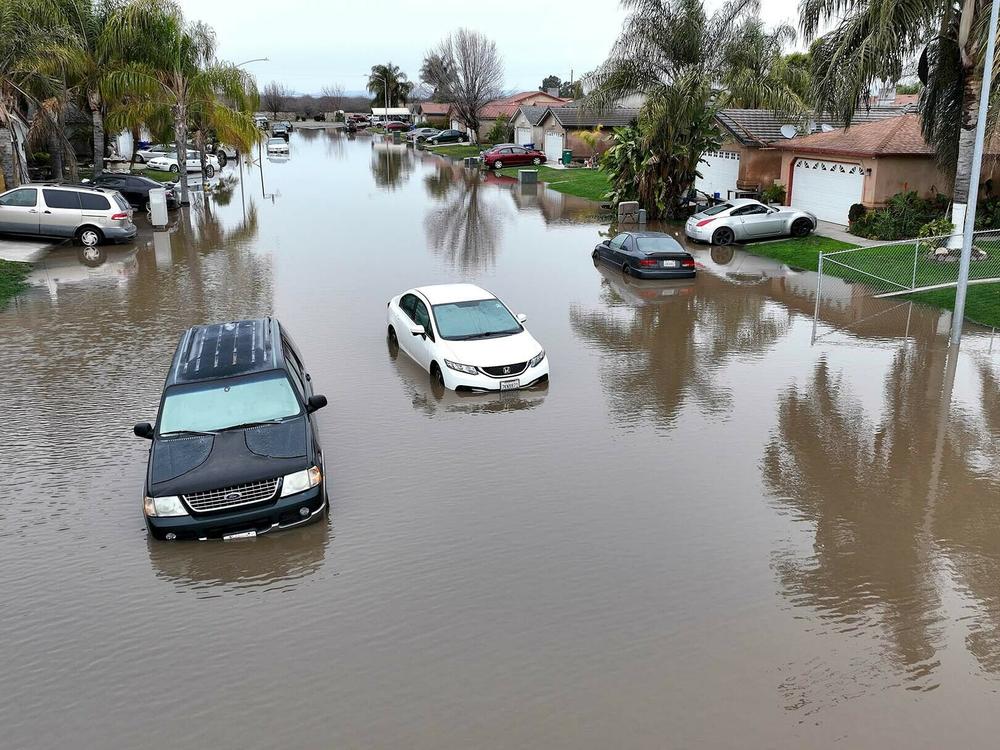
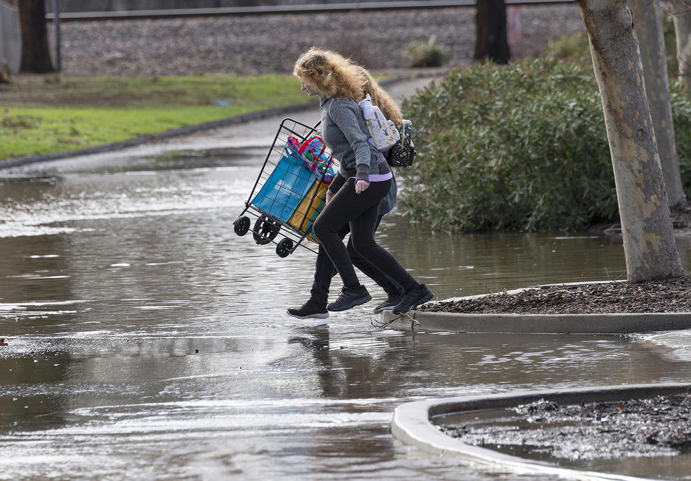
Heavy storms have flooded roads and intersections across California over the last few weeks. The water often isn't coming from overflowing rivers. Instead, rainfall is simply overwhelming the infrastructure that's designed to keep people safe from flooding.
A new federal law could ensure that the country's roads and infrastructure are better able to withstand increasingly destructive storms.
The problem: the help won't be ready in time for the billions of dollars in infrastructure spending currently underway.
As the climate gets hotter, rainfall is getting more intense in many parts of the country. But many cities aren't constructing infrastructure to handle increasing amounts of water, because the rainfall records they use to design it are decades-old in most states.
Those federal records, put out by the National Oceanic and Atmospheric Administration, are only sporadically updated. That means water systems are still being designed for the climate of the past.
In late December, President Biden signed a bill that would require NOAA to update its extreme rainfall records for the whole country for the first time. It also requires them to forecast how climate change could make rainfall more intense in the future. NOAA is currently doing that national analysis and plans to make it available to cities and states in 2026 and 2027.
Still, by then, the country will have already made the single largest investment in history in water infrastructure. The vast majority of spending from the Bipartisan Infrastructure Law will have been distributed, meaning most water projects will still be using old climate data.
"The past is no longer a good predictor of what's coming our way," says Rachel Cleetus, climate policy director at the Union of Concerned Scientists. "We will have many, many people and billions of dollars of infrastructure at risk if we don't do better going forward."
Building new infrastructure for last century's storms
When it comes to water infrastructure needs, Louisville, Kentucky has a long to-do list.
The city's aging water system has been overwhelmed by large storms in the past, causing billions of gallons of sewage to be released into the Ohio River. The Louisville & Jefferson County Metropolitan Sewer District is working its way through a $2 billion dollar project list to address the problems, under an agreement with the Environmental Protection Agency.
To fill the funding gap, the utility is tapping into a range of federal sources, including new funds made available by the recent Bipartisan Infrastructure Law and the American Rescue Plan Act.
"We don't necessarily think about the structure under our feet that needs to be ready when a storm hits, but because those climate change storms are happening more and more frequently, now is the time to invest to update those systems," says Stephanie Laughlin, infrastructure planning manager at Louisville MSD.
Still, the utility is currently using 62 year-old rainfall records to figure out what kind of storms its stormwater system should be able to handle. It's in the process of updating to NOAA's latest rainfall records for the region, known as Atlas 14, but even those are still more than 20 years old.
Extreme rainstorms have already gotten more intense in Louisville since 1961, according to a 2017 study done by the utility. The study also showed that the trend will continue, with those storms expected to drop 2-3 more inches of rain per day by 2065 as the climate gets hotter.
Louisville MSD is using that climate change forecasting to help design its major water facilities, like upgrading Paddy's Run, a 70-year old pumping station on the Ohio River that protects 70,000 homes from flooding.
But new investment in the rest of the water system, including the stormwater drains, will continue to use the older rainfall records without climate change projections. Laughlin says to change that, the utility needs new official rainfall data from NOAA.
"It needs to be at the agency level for us to put into our design guidelines," she says. "That's the next step that will provide that added resilience."
New climate forecasts on the way, but not in time
Water utilities around the country are facing the same challenge. Those that have found resources, like Harris County in Texas, have funded studies to find out what kind of storms are coming their way in the coming decades. Smaller utilities are struggling to find those localized forecasts.
NOAA is now set to provide a national update, after President Biden signed the FLOODS Act in December, and it will be required to revise its rainfall data and projections every 10 years. Previously, states had to pay the agency for updated rainfall records. As a result, many states are using 20-year old reports, while the Pacific Northwest only has data from the 1970s.
With new funding, NOAA will also include projections of how climate change could increase precipitation across the country. A hotter atmosphere is able to hold more water vapor, driving more intense rainfall from storms.
"To have those future projections becomes very important, because the stuff that we're designing today, whether it be infrastructure or buildings, they're going to be with us for decades if not over a century, so we need to know what that future condition is to minimize damage and loss," says says Chad Berginnis, executive director of the Association of State Floodplain Managers.
Given the complexity of adding climate change to their analysis, NOAA officials say the earliest the update can be ready is 2026.
"We're looking for those opportunities to accelerate, but we want to make sure the data and the products are of high quality," says Fernando Salas, director of the Geo-Intelligence Division NOAA's Office of Water Prediction.
By then, the federal Environmental Protection Agency will have distributed the majority of the Bipartisan Infrastructure Law funding. The agency began giving states $11.7 billion dollars through the Clean Water State Revolving Fund last year, which is expected to be fully delivered by 2026.
"We strongly encourage that these investments should foster resilience to all threats and hazards, both natural and man-made, that they need to support climate adaptation in the water sector," says Radhika Fox, assistant administrator of water at the EPA.
In absence of new federal rainfall data, it will largely be up to cities and states to find ways to plan for climate change. A newly released map from the Department of Defense and NOAA, while not the official records, does show how precipitation will change across the U.S. Climate experts say without building in some leeway to handle bigger storms, communities risk building infrastructure that will be inadequate and need expensive updating far sooner than planned for.
"It's been a long time coming and better late than never," Cleetus says. "But what we need to do is make sure that we're mainstreaming it into all our infrastructure decisions from here on out. Otherwise we'll be putting good money after bad."
Copyright 2023 NPR. To see more, visit https://www.npr.org.


