Section Branding
Header Content
Scientists are flying into snowstorms to explore winter weather mysteries
Primary Content
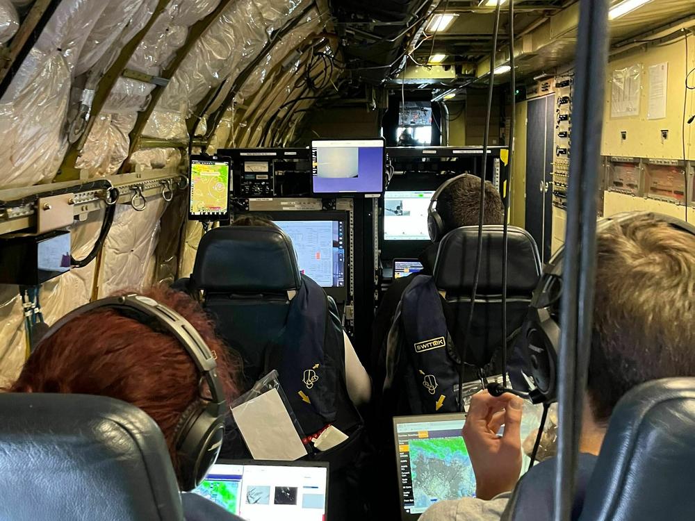
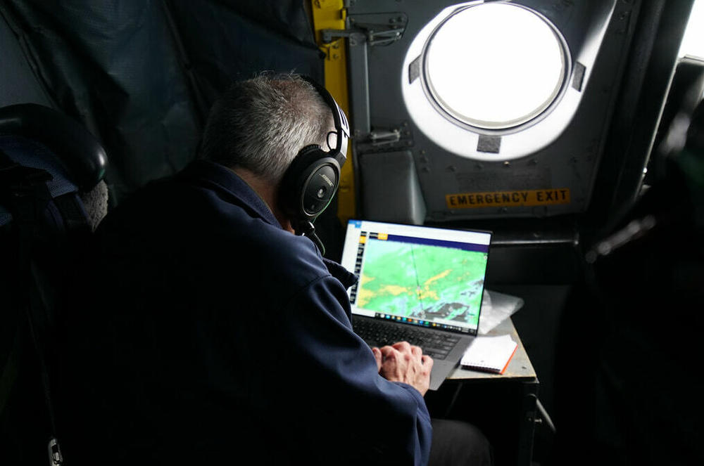
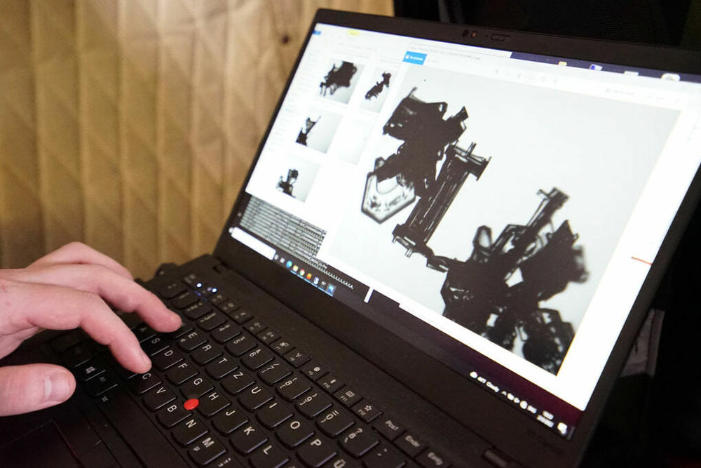
High up in some ice-filled clouds, sitting inside an airplane loaded with science instruments, Christian Nairy looked at pictures flashing on his computer screen. This high-altitude slideshow is displaying real-time images of cloud particles being sampled by a device out on the plane's wing — and some of the ice crystals looked like perfect little snowflakes.
"They're amazing to look at. Especially when they pop up right in front of you on the screen, it's remarkable," said Nairy, a Ph.D. student at the University of North Dakota.
He's just one of the scientists who was aboard a research plane earlier this month as it flew out of NASA's Wallops Flight Facility in Virginia to travel through a winter storm — part of a research campaign called IMPACTS, or the Investigation of Microphysics and Precipitation for Atlantic Coast-Threatening Storms mission.
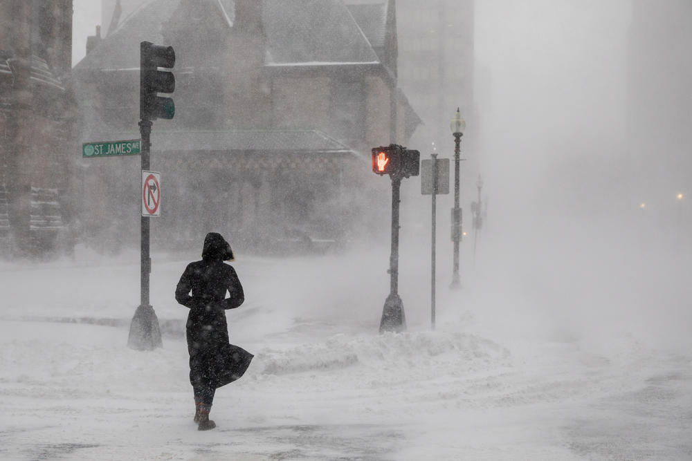
It's been gathering the kind of information that could someday help weather forecasters better predict whether a winter storm might cause treacherous conditions that would require shutting down schools, closing roads, and canceling flights.
Until this mission, which started in 2020 and ends February 28, there hadn't been a major airborne study of winter storms in the eastern half of the United States in about 30 years, says Lynn McMurdie, an atmospheric scientist at the University of Washington in Seattle.
"We've had some really good storms," says McMurdie. "Whatever Mother Nature gives us, we will go fly in it. We are going out and trying to get the whole range, from a super snowstorm that blocks all the traffic up and down the East Coast to 'oh, this is just a normal rainstorm, why do you care?' "
The biggest storm they flew in was the blizzard in January of 2022 that dumped around 2 feet of snow on parts of the Atlantic coast. "That was a crazy one," recalls Nairy. "We hit some crazy turbulence on that flight."
This year, though, eastern snowstorms have been relatively hard to come by. "But you know, this is what we have and we'll make the best of it. And I do think we have really excellent data," says McMurdie. "So there will be a lot of studies out of all these different storms, even if they're not the quintessential beautiful snowstorm."
One of the goals of this project is to better understand the bright "snow bands" that frequently appear in radar maps of winter storms east of the Rocky Mountains.
Scientists have known about these distinctive radar patterns for a couple of decades, but it's still not clear how the bands form or what exactly is going on inside of those clouds, explains McMurdie.
That's why scientists with IMPACTS chart their flight paths to go right through a storm's bands.
Instruments mounted under the P-3 aircraft's wings can directly sample cloud particles. Researchers inside the plane can also send out dropsondes, little probes that parachute down through the storm and send back data on things like temperature, pressure, relative humidity and wind speed.
Meanwhile, another research plane, the ER-2, frequently follows the same flight path, but at higher altitudes of over 60,000 feet. It has instruments that also gather data about the storm, from above.
"I think what makes this most special is that we are coordinating these two aircraft," says McMurdie, "and looking for this huge range of storms."
One thing researchers hope to understand is the role of supercooled liquid water in storm clouds. Under certain conditions, water can stay in a liquid form down to minus 34 degrees Celsius — around minus 29 degrees Fahrenheit.
Small droplets of this supercooled water sometimes adhere to snow crystals. "Imagine a beautiful snowflake, and then it has all these little tiny dots. It looks like it has a case of the measles, or something," says McMurdie.
What they've seen so far, she says, suggests that this kind of water is an important aspect of the snow bands, perhaps leading to more water content, more ice particles, and eventually more snowfall on the ground.
The massive amounts of data gathered from above, below and inside this diverse array of winter storms should give meteorologists much to mull over in the coming years, and hopefully end up incorporated into forecasting models, so that future weather reports will give a better sense of what a storm might be capable of.
"I'm continually surprised every time we go up and fly," says McMurdie. "Everytime, there is something that is like, 'Really? What is going on there?' "
Copyright 2023 NPR. To see more, visit https://www.npr.org.
Bottom Content


