Section Branding
Header Content
Record heat boosting wildfire risk in Pacific Northwest
Primary Content
A record heat wave in the Pacific Northwest has prompted fire managers to bump the national preparedness level up a notch, from three to four on a five point scale. More than two dozen large fires are now burning in the region, many sparked by dry thunderstorms.
At the National Interagency Fire Center in Boise, federal fire managers monitor giant screens in a NASA like control room, as they deploy air tankers, hot shot crews and other resources around the West right now.
Meagan Conry, the federal Bureau of Land Management's assistant deputy director for fire and aviation, tracks fires on live cameras in the Northwest. She says the area has become vulnerable to increased fire activity because of, "above average temperatures, dry conditions, and some expectations for gusty winds over the next few days."
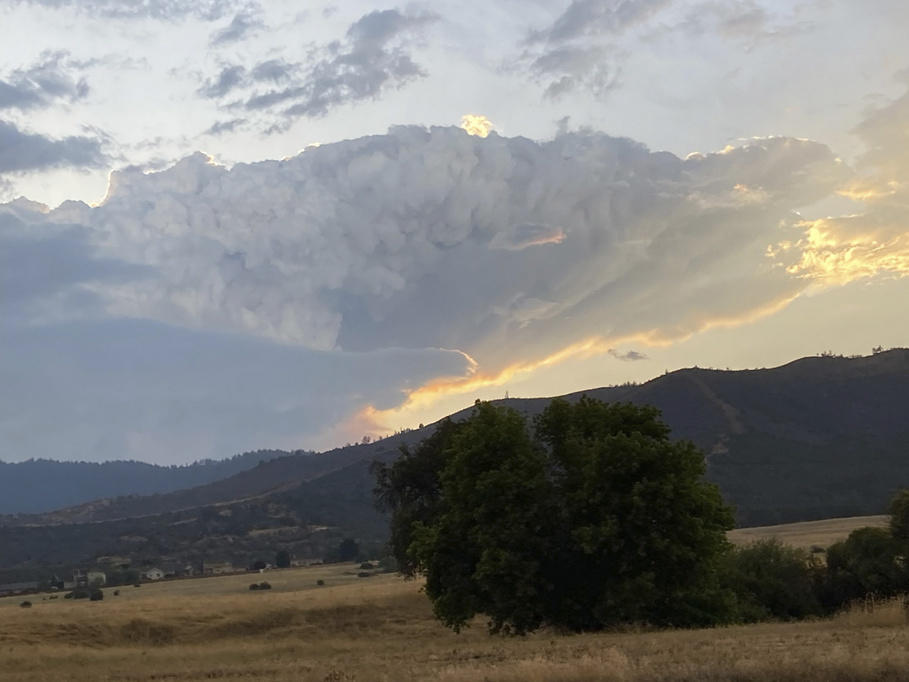
The Northwest and far northern California have been baking in triple digit heat all week, with extremely low humidity. Dreaded dry thunderstorms have brought a lot of wind and new ignitions from lightning strikes, but very little rain.
For context, though, only about 1.6 million acres have burned so far this year, only about a third of the ten year average according to NIFC.
Fire managers say with climate change, things feel pretty flipped upside down right now. It's the middle of August and yet the worst wildfires so far this year have happened in the tropics and near the Arctic.
"While Canada and Hawaii have had an abnormal and tragic fire season, the United States mainland and Alaska have enjoyed a little bit of peace and quiet," Conry said.
That could all change after a week like this. Near record or record high temperatures have been recorded from Boise to Vancouver, British Columbia. In Portland, a high of 108 set an all time record for August. Similar conditions are being seen from the Oregon coast inland to Montana.
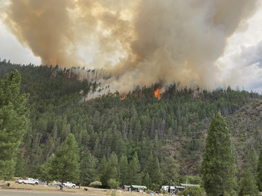
Firefighters in the Klamath National Forest, on the border between California and Oregon, are working to contain a number of fires sparked by thunderstorms in the area. Officials say nineteen fires have been spotted, and they're actively looking for additional reported smokes.
The largest is the Head fire, which is currently 0% contained and growing rapidly in strong winds. It has led to evacuation orders for large parts of Sisikyou County in Northern California.
Last summer, the McKinney Fire ignited in the same area, killing four people and destroying most of the small hamlet of Klamath River.
Jonathan Tijerina works at Rescue Ranch in Sisikyou County, where dogs are being sheltered for people evacuating during the current fires. He says a few dogs have been brought to them so far, but they're expecting more as fire-sparking thunderstorms in the area in the coming days.
Tijerina says last year the small shelter housed more than 200 dogs, and had people camping on the property as well.
"It was extremely hectic," he said.
Tijerina added that these days, people in the area feel the need to stay vigilant about fire preparedness and safety.
"Just knowing the destructiveness of the fires and how they're increasing, it's definitely something that causes anxiety," he said.
But despite these fires, UCLA climate scientest Daniel Swain says the West is still benefiting from a cool wet spring. "This does not look like an August 2020 repeat despite some rumors," he says. "The level of lightning activity is much lower, the size and the behavior of fires is smaller and less aggressive for the most part, so far."
In August of 2020, deadly wildfires ignited in Oregon forests and weeks later over Labor Day, one mostly wiped out an entire farming town in eastern Washington.
A sign of the times, maybe: Swain and other climate scientists are now shifting their attention from wildfires to Hurricane Hilary, which could bring heavy rain and mudslides to fire-scarred mountains in southern California.
Copyright 2023 NPR. To see more, visit https://www.npr.org.


