Section Branding
Header Content
A rapidly moving winter storm disrupts travel and closes schools in the Northeast
Primary Content
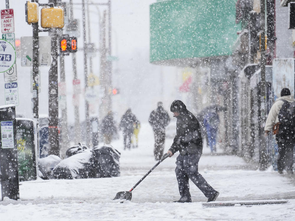
A fast-moving winter storm hit the Northeast region Monday evening, affecting millions of residents with road and school closures. The storm is expected to push east out to sea later Tuesday.
Travel has already been disrupted, with more than 1,500 flights canceled and more than 10,000 delayed as of noon ET, according to FlightAware.
The National Weather Service predicts that heavy, wet snow coupled with strong winds of up to 40 mph will damage trees and power lines, and continue to disrupt travel.
As of Tuesday midday, power was out for more than 120,000 customers across Pennsylvania.
The storm has produced heavy snowfall on Tuesday — as much as 2 inches per hour in some areas — and gusty winds from the central Appalachians to southern New England. However, the snow should taper off in New Jersey, New York and Connecticut by late afternoon, according to the NWS Weather Prediction Center.
New York City Mayor Adams advised that people stay off the roads, as snow could melt and freeze through Wednesday morning, potentially creating dangerous driving conditions.
All New York City public schools were closed Tuesday, with classes held remotely. All Boston Public Schools were closed as well.
The storm produced the heaviest snowfall, exceeding 6 inches, in the central Appalachians, eastern Pennsylvania, the New York City metro area, and southern New England. Some parts of Pennsylvania have seen up to 15 inches of snow so far.
Moderate coastal flooding is also possible along the northern Mid-Atlantic and southern New England coasts.
The nor'easter should rapidly push east and away from the Mid-Atlantic coast by Tuesday evening, but forecasters say a new, separate storm is expected to arrive across the Northwest over the next couple of days. The remainder of the country is expected to stay dry and tranquil later in the week.
The new storm system, arriving Wednesday and Thursday, will bring heavy rainfall in the Pacific Northwest down into northern California. The heavy precipitation from the storm will manifest as heavy snow further inland over higher terrain, gradually making its way to the northern Rockies.

