Section Branding
Header Content
April nor'easter is walloping New England with wind, rain and snow
Primary Content
Mother Nature is not fooling around this time. An April nor'easter headed for New England has started to unload wind-whipped rain, sleet and snow across the region. Many areas in the north are expecting one to two feet of snow, as well as power outages that could last for days.
Boston is experiencing rain and sleet, and wind gusts are intensifying, as they are expected to reach up to 50 mph. Delays are already starting to rack up at Logan airport.
The more significant impact is expected in New Hampshire, Vermont and Maine, where wide swaths of the region could end up with 12 to 24 inches, according to National Weather Service meteorologist John Palmer.
"This is going to be a big one," he says. "Anybody that has lived around here knows, over 18 inches of snow is borderline historic for the month of April in most places."
The coastline will see mostly rain, and the heaviest snow will be inland.
"Mile by mile, as you work your way inland it quickly ramps up to 18-24 inches just a few miles back from the coast," says NWS meteorologist Michael Clair.
The snow will be heavy and wet, the kind that brings down tree branches, and with them, power lines. Wind gusts --expected to hit 55 mph-- may well add to the damage, he warns.
"People should be prepared to be without power for several days, because this is a pretty intense, pretty high-impact event," Clair says.
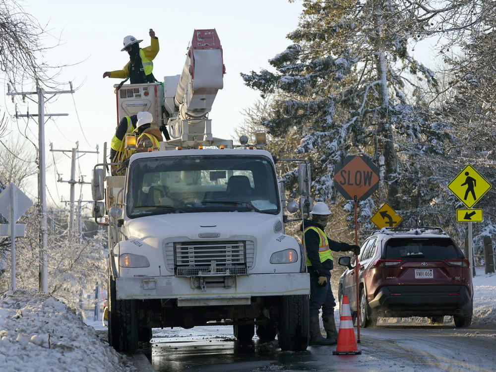
In New Hampshire, utility officials say hundreds of extra crews are standing by to restore power, as needed. This nor'easter comes on the heels of an ice storm last week and also a wind storm over the weekend, making the potential damage all the more daunting.
"With the trees weakened from last week, they're more susceptible to come down and cause damage to the electric system, resulting in outages, says William Hinkle, a spokesperson for Eversource, which serves New Hampshire and parts of Massachusetts. "Also, the ground is highly saturated from recent weather as well, which also poses a threat to the trees and makes them more likely to come down."
While the timing of such a powerful storm is unusual, Hinkle says it's less and less surprising.
"With the uncertainty around our climate, it's just becoming more frequent that we see these kind of unseasonal events," he says. "There's not a season of the year in which there aren't potential threats from [extreme] weather."
While utilities are bracing for the storm, the snowy forecast is welcome news to New England ski areas, who've seen below average snowfall this season. National Weather Service Meteorologist Stephen Baker says the snow that dumps down on ski areas will be not only be more inches, but also more powdery.
"The mountains are going to get the best of this storm, some places getting close to two feet," Baker says. "Because of their elevation, temperatures will be colder, which will help the snow accumulate better."
"We are getting super excited!" exults the weather forecast page for Wildcat Mountain in Jackson, NH. "Wildcat appears to be in the snowfall jackpot zone [...] and the stoke is high."

