Section Branding
Header Content
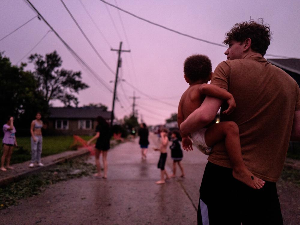
Francine weakens as it moves inland after winds cause widespread blackouts
Primary Content
Hundreds of thousands of power outages were reported in Louisiana and Mississippi early Thursday as residents in the region braced for possible flooding as Tropical Storm Francine moved farther inland.
At 4 a.m. CDT, the center of the storm was 60 miles north of New Orleans and carrying maximum sustained winds of 45 mph. Francine was moving in a northeastern path at 12 miles per hour.
Heavy rains were spreading across southern Mississippi, Alabama and the Florida Panhandle, forecasters at the National Hurricane Center said.
Both storm surge warnings and tropical storm warnings were in effect from Grand Isle, La., to the Mississippi-Alabama border, and for the areas surrounding lakes Maurepas and Ponchartrain, both just north of New Orleans, the NHC said. Storm surge warnings are posted if there is a danger of life-threatening rising waters that are moving inland from coastlines. Tropical storm warnings are posted in areas where tropical storm conditions are expected.
Power outages in Louisiana surpassed 390,000, while neighboring Mississippi experienced nearly 39,000 outages, according to the tracking site poweroutage.us.
Francine struck Louisiana’s coastline as a Category 2 hurricane Wednesday in the southern Louisiana Parish of Terrebonne, about 30 miles south-southwest of Morgan City. But by late that night forecasters at the National Hurricane Center said it had weakened to a tropical storm.
“Make sure you have all preparations rushed to completion ASAP!” the National Weather Service office in New Orleans said on Wednesday. “Then, prepare to hunker down & shelter in place through the overnight hours!”
For anyone in the storm’s path, member station WWNO has ongoing coverage and a guide to help preparing for the hurricane.

