Section Branding
Header Content
What are the Santa Ana winds and how are they impacting the LA wildfires?
Primary Content
This is a developing story. For the latest local updates head to LAist.com and sign up for breaking news alerts.
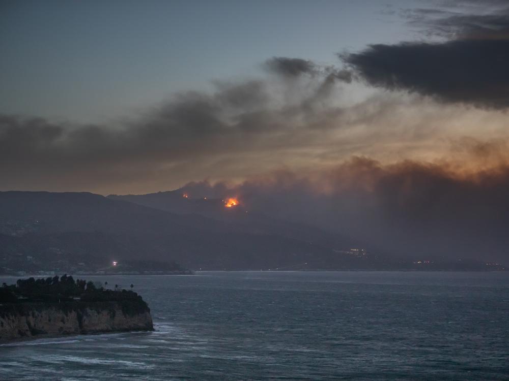
The intense and fast-moving fires that have cut a path of destruction through the suburbs of Los Angeles, killing at least two people, are being driven by the region's powerful Santa Ana winds, with gusts that in some cases surpass hurricane-strength.
The two largest blazes — the Palisades and Eaton Fires — have consumed more than 10,000 acres each and prompted mandatory evacuations for almost 70,000 people as of Wednesday. Another 58,000 people have been warned to be prepared to leave at a moment's notice.
Although the Santa Anas are a routine part of life for people living in southern California, the winds are particularly violent and destructive this time around, experts say.
Ferocious winds are likely to make it difficult or impossible for firefighters to contain the blazes until conditions improve. For now, however, the National Weather Service is warning of sustained winds up to 40 mph in the region, with gusts up to 80 mph in the area of the wildfires.
Mike Wofford, a lead forecaster at the National Weather Service's office in Oxnard, Calif., says the Santa Ana winds are most common during the cooler months from September through May. They are caused by high pressure over the desert of the southwestern U.S., that pushes through the mountain passages in Southern California toward an area of lower pressure off the Pacific coast.
"The high pressure that develops over that region, coupled with lower pressure down over southern California, creates this strong flow of air that comes out of Nevada and hits our coastal mountain range, the San Gabriel Mountains, and out to the Inland Empire area," Wofford says.
The key characteristic is that the winds are what's known as katabatic, meaning they flow downhill, says Mingfang Ting, a professor at Columbia University's Climate School.
As the air mass drops in altitude, it compresses and heats up — by about 10 degrees Celsius per kilometer (18 degrees Fahrenheit per 0.6 of a mile). It's a "very effective way of warming up the air," she says.
"As the air warms up, it also decreases its humidity," she says. Funneling through narrow mountain passes, it also speeds up in much the same way that air moving through a tunnel or the wind between buildings is stronger.
Normally, that makes for warm, dry Santa Anas that can be reach 40–60 mph, with gusts exceeding 70 mph.
➡️ The Santa Ana winds: A cultural and destructive force in Southern California
But "this one is not typical," Wofford says. This time, the Santa Anas are coupled with "very strong winds in the upper atmosphere. In addition to funneling through the mountains, they went up and over the mountains and then they descended down into the basin area," he says.
The result is wind gusts as high as 100 mph in some places, he says, adding that the current dry conditions mean, "everything is just primed and ready to go" for wildfires.
"Obviously, we've got a zillion cars in the area. If one breaks down, overheats and someone pulls over next to an area where there's some dry brush, that can kick it off," he says.
Park Williams, a professor of geography who heads the HyFiVeS Research Group (Hydroclimate, Fire, Vegetation, and Society) at UCLA describes the current scenario as a "highly improbable sequence of extreme climate and weather events over the past two years."
It's not just the dry weather this year, he says, but "from winter 2023 through spring 2024, the Los Angeles area experienced an exceptionally wet climate and this led to the growth of an extraordinary amount of new vegetation biomass in the hills and mountains surrounding the city."
What role might climate change play? As NPR has reported previously, a hotter atmosphere due to climate change can lead to the rapid spread of wildfires.
As for having an impact on the frequency and intensity of Santa Ana winds, Ting is circumspect. "I'm not sure," she says. "I think more importantly in this case, if you wanted to say anything about the role [that] global climate change plays, is the dryness in the region."
The California Newsroom is following the extreme weather from across the region. Click through to LAist's coverage for the latest.

