Section Branding
Header Content
How to prepare for the 2023 hurricane season with climate change in mind
Primary Content
The Atlantic hurricane season begins today. This year's storms will arrive as millions of people are still recovering from years of back-to-back hurricane devastation, from Texas all the way to the Northeast, and from the Caribbean to West Virginia.
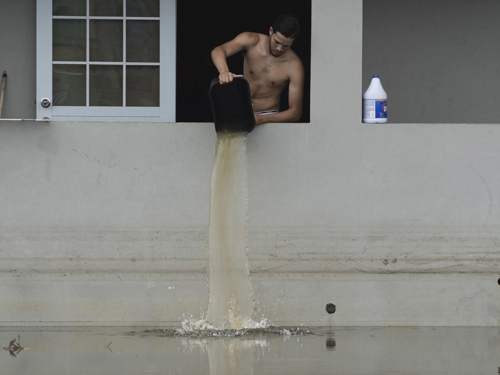
The United States is feeling the effects of climate-driven storms. A hotter Earth makes storms more likely to get big and dangerous. The cost of damage from hurricanes has skyrocketed, overwhelming emergency agencies, insurance companies and household budgets, displacing entire neighborhoods and killing people.
So, as the 2023 hurricane season gets underway, NPR spoke with the scientists at the National Hurricane Center who provide crucial public information about hurricanes. They are responsible for warning people about how large a storm is, who is in its path and what dangers it poses.
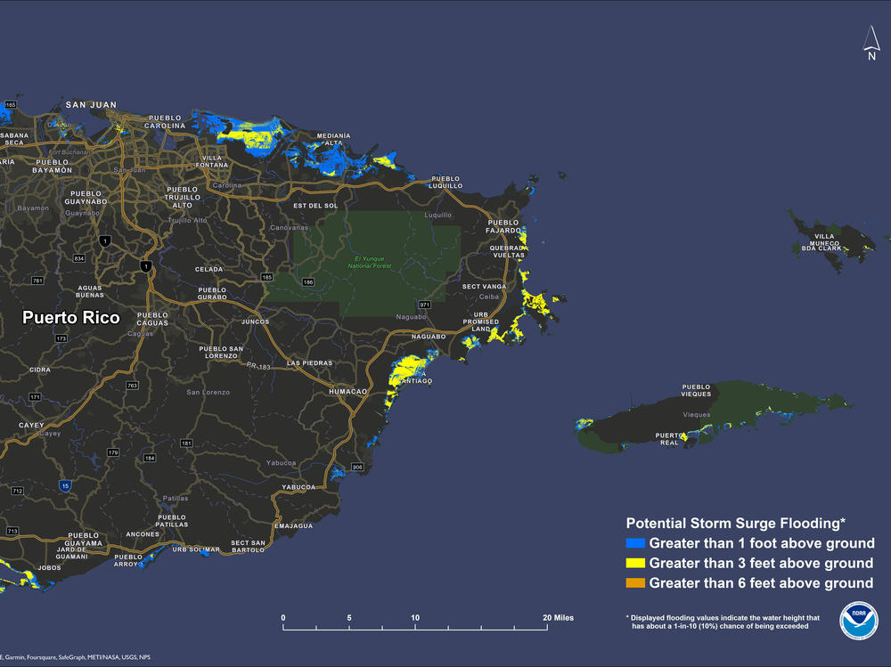
This year, the National Hurricane Center is rolling out a major upgrade to the computer model it uses to predict hurricane storm surge. Storm surge – the wall of water that a hurricane pushes onto land – is the most deadly hurricane hazard, and it drives evacuation orders before a storm.
Up until now, forecasters could predict how high storm surge would be about 2 days before a storm hit land. Now, they've extended that lead time to 3 days, says Cody Fritz, the head of the storm surge unit at the National Hurricane Center.
That will give people more time to evacuate, and could save lives.
This is also the first year that people in Puerto Rico and the U.S. Virgin Islands will get real-time storm surge forecasts when a storm is headed their way.
"My sense is that it will definitely help on the spot to make very quick decisions," says Ingrid Padilla, a hydrologist at the University of Puerto Rico.
But, Padilla emphasizes, last-minute preparations such as evacuation orders only go so far. Local officials and residents in hurricane-prone places need to think about the growing threats from hurricanes long before a storm is barreling toward their homes. And that requires understanding how dangers from hurricanes are changing as the Earth heats up.
NPR sat down with the new director of the National Hurricane Center, Michael Brennan, to talk about climate change, hurricane forecasts and how people can be ready for storms. The interview has been condensed for clarity.
What are some of the challenges associated with communicating hurricane risks to the public as the climate changes and sea levels rise?
I think that the biggest changes are related to the water hazards.
With sea level rise, we're expecting that by the end of this century storm surge inundation from hurricanes is going to get worse – maybe as much as two to three feet more inundation on average by 2100 than we're seeing now.
Places are going to flood that haven't flooded in the past. So if people are basing their risk on what they've experienced – even if they've lived in a location their whole life – that past experience is not necessarily going to be a good indicator of current or future risk.
The other thing we're noticing is, with a warming climate, rainfall rates are going to be higher. [That] is going to increase the risk of freshwater flooding. We could see rainfall rates of about 15% higher in tropical storms and hurricanes, over the next century. And we're already seeing more extreme rainfall.
Freshwater flooding in the past 10 years has killed more people than any other hazard in this country associated with tropical storms and hurricanes.
What role does the latest climate science play in the public messages from forecasters at the National Hurricane Center? Do you mention climate change explicitly?
I think where we try to work it in is [as a] reminder that the water hazards are what kill the most people in tropical storms and hurricanes, and they're projected to get worse.
You know, we try to have people focus on the water and less on the wind. Wind is not usually the biggest killer, although it gets the most attention.
We have watches and warnings that deal explicitly with the storm surge now, that have been in place since 2017. And we're moving towards more products and services that are focusing on the freshwater flooding hazard.
Does that affect the words that show up in official hurricane forecasts?
We've used some pretty strong language in previous years. We used words like "unsurvivable," when we described the storm surge risk associated with Hurricane Laura in portions of Louisiana [in 2021]. We were expecting to see inundation of 15 to 20 feet above ground level.
You know, it's challenging to try to describe the magnitude of that risk to people because it's difficult for people to visualize what that really means. If you've never experienced that, what does that mean? Does that mean there's gonna be water in your house? Does it mean there's going to be water over the roof of your house? What's that going to do to your ability to move around, or you're going to have landmarks that are covered by water?
We're trying to come up with ways to help people visualize what that level of inundation would mean in their community. We're working with social scientists on trying to come up with better ways to convey that risk.
The same thing with the heavy rainfall. We're trying to convey how flooding is going to affect people in their homes, because that's how they're making decisions about how to keep themselves safe.
There is a lot of active research about how climate change affects hurricanes. How do you make sure the forecasters at the National Hurricane Center are up to speed? And how do you decide when the science is settled enough that it should influence forecasts or public messages?
The [National Oceanic and Atmospheric Administration] came out with a science fact sheet on Atlantic hurricanes and climate change in February.
We're most confident in the impacts of a changing climate on storm surge inundation and rainfall rates.
[But] how much stronger will the hurricanes be from a wind perspective? Will there be more Category 4 or 5 hurricanes? There's a lot less certainty in those projections. So we really focus on the water hazards.
We don't want to necessarily try to get too complicated with what we're trying to explain. The messaging during a storm is challenging enough, because people are getting bombarded with information from a variety of sources. We really want to try to describe the threat that's associated with that storm at that particular time.
But there may be ways that we try to convey that, "Hey, this event is going to be worse than any event that you've seen in this location in your lifetime." Or, "This event will flood places that have not ever flooded before."
Copyright 2023 NPR. To see more, visit https://www.npr.org.


