Section Branding
Header Content
Idalia strengthens into a Category 4 hurricane as it nears Florida's Gulf Coast
Primary Content
Updated August 30, 2023 at 6:15 AM ET
Hurricane Idalia intensified into a potentially catastrophic Category 4 hurricane Wednesday morning as it approached Florida's Big Bend region.
At 6 a.m. ET on Wednesday, the National Hurricane Center said the storm was 55 miles west of Cedar Key, Fla., while carrying maximum sustained winds of 130 mph. Category 4 storms may cause "catastrophic damage," the NHC said.
Overnight, forecasters increased the storm surge potential to as high as 16 feet from the Wakulla/Jefferson County line to Yankeetown, Fla.
The NHC also issued a hurricane warning for the southeast coast of the United States from the Altamaha Sound in Georgia to Edisto Beach in South Carolina.
Overnight, swells from Idalia had roiled the Gulf of Mexico. A buoy (#42099) near the storm reported a wave height of nearly 34 feet.
Idalia's wind speeds experienced "rapid intensification" since Tuesday morning, a classification that the NHC defines as an increase in the maximum sustained winds of at least 35 mph in a 24-hour period. Such a rapid increase in wind speed used to be a rarity, but is happening more frequently, in part, because of climate change.
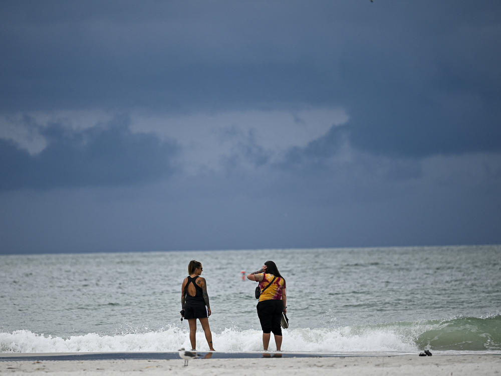
Idalia was sending heavy rain bands up the South Florida coast as the storm moved through the hot, jacuzzi-like temperatures of the Gulf of Mexico. That warm water helped fuel a rapid intensification of Idalia.
As the storm neared Florida, local officials in the state warned residents to remain vigilant. In Tampa, for instance, city leaders warned the worst of what could be a 4-to-6-foot storm surge could happen on Wednesday – well after the storm has passed.
In a briefing, Florida Gov. Ron DeSantis warned Floridians to "be ready for impact," in discussing the pending arrival of Hurricane Idalia in the Big Bend region.
Previous forecasts had called for a 10-to-15-foot storm surge. That is several feet higher than what was predicted last year during Hurricane Ian, which walloped and decimated Fort Myers Beach. "This could have really, really significant storm surge on those coastal areas alongside the Big Bend. Storm surge of this magnitude is not something we've seen on this part of Florida in any of our lifetimes," DeSantis said.
The Big Bend region is where the Florida peninsula and panhandle come together and is a rural and low-lying area – punctuated with quaint and old-time fishing villages and tiny beach communities.
"We are going to experience historical flood surge up into the Big Bend area," said Kevin Guthrie, executive director of the Florida Division of Emergency Management. "This is nothing to be messing around with."
Copyright 2023 NPR. To see more, visit https://www.npr.org.

