Section Branding
Header Content
Researchers Develop New Storm Surge Tool
Primary Content

It’s been decades since a major hurricane came through the Savannah area…but hurricanes are always a risk for coastal cities. When a storm hits, the main source of damage comes from the higher waves and sea levels brought on by the phenomenon called storm surge.
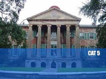
A new interactive map from the College of Charleston helps users see just what high storm surge would mean for that city – and its designers hope to make similar maps for other areas of the coast. GPB’s Emily Jones asked professor Lee Lindner to explain how the map works.
You can take the survey and check out the storm surge simulator here.
Tags: college of charleston, mapping, storm surge, hurricanes
