Credit: U.S. Department of Agriculture
Section Branding
Header Content
USDA hardiness map shows Georgia's coldest temperatures are warming
Primary Content
LISTEN: Less hardy perennials may be able to survive in cooler parts of Georgia, as cold snaps become less severe. GPB's Benjamin Payne reports.
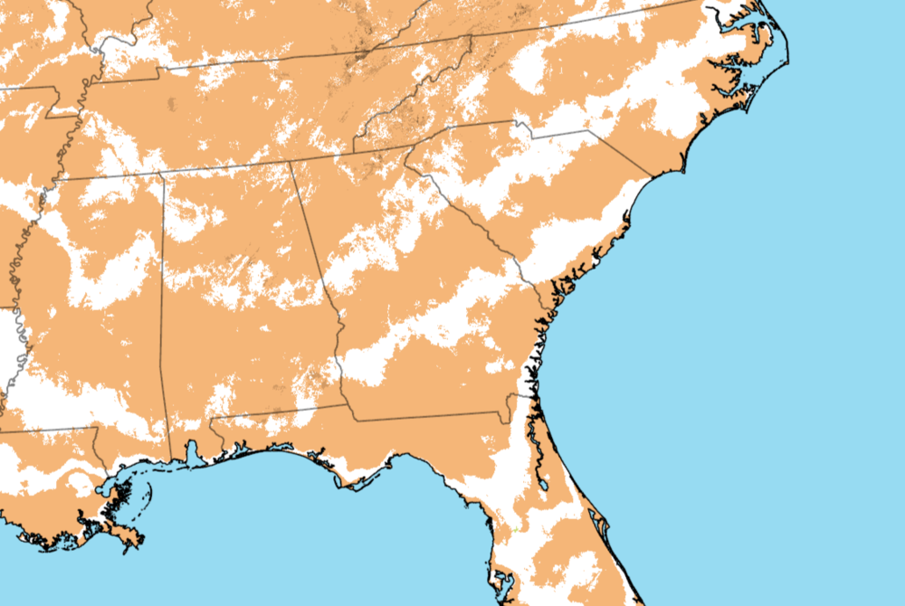
A newly updated map created by the U.S. Department of Agriculture shows warming winter low temperatures for the majority of Georgia, meaning that many growers may be able to successfully plant perennial flowers and crops that are less hardy.
The 2023 Plant Hardiness Zone Map displays the average lowest winter temperature range for any given location in the U.S., based on weather data from 1991 to 2020. Users can find their zone by entering their ZIP code.
Many areas of South Georgia saw their zones increase from 8b (15°-20°F) to 9a (20°-25°), compared to the previous map, which was made in 2012. Much of Middle Georgia rose from 8a (10°-15°) to 8b, with parts of North Georgia rising from 7b (5°-10°) to 8a.
No part of Georgia experienced a shift to a colder hardiness zone.
“Homeowners use this map a lot,” said Columbus State University environmental science professor Troy Keller. “If you buy seeds, for instance, you'll see the little maps on the back to tell you if you're in this zone, [these are] the dates that you should use. Even when you're purchasing trees and things to install in your yards, that hardiness zone matters.”
Farmers, too, may find the map useful — especially those whose property lay on or near the border of two zones in the 2012 map, Keller said. The USDA also uses the zones to set certain crop insurance standards.
Keller added that there is often a correlation between warming hardiness zones and rising high temperatures.
About half of the U.S. shifted to the next warmer half-zone, with the other half remaining the same.